Outside of amusement for me, the purpose of all these unloved and untrammelled canals is to move water away from its natural drainage and force it into the dry portions of the Central Valley floor. With California’s lust for water intensive crops like rice and tomatoes, nearly every rivulet draining the coast range has been rerouted and reused many times over.
… which explains its gray-brown opaqueness.
Yet with the past couple of posts and the research we’ve undertaken on fish behavior and senses, there is still a bit more we can learn from our adversary that may maximize our ability to fish this unloved taint.
There are two basic types of waterways on the valley floor, man-made and “man-enhanced.”
“Man-Made” is self explanatory, someone takes a backhoe through the rich loam and flushes water through the scratch that results. “Man-enhanced” being something that started naturally, like a drainage or depression, and was augmented by a back hoe to make a larger waterway capable of greater capacity.
Some are lined with plastic membrane and the rest are not. The plastic prevents absorption of the water as it travels, and assists in slowing the gradual collapse of the banks into the main channel. This being a land without rock, nothing holds its shape for long.
Both types require periodic dredging to remain useful, the difference being the duration between backhoe visitations.

The above is an unlined trench. Note the flat and featureless bottom. The cement structure drains the canal back into the owning waterway, whereas the dry fork leads to the golf course further downstream.
Examining the bank in the above photo we can see that the water level never exceeds 18” – which is the distance up the sides the water has scrubbed the ground clean of foliage. If we were looking into the water from the bank above we’d be unable to tell how deep it was, and therefore might spend time fishing it thinking it deep enough to support fish.
I had reconnoitered this structure before thinking it might also serve as a natural Crayfish trap once the summer flows recede, but the few claws that I found suggested the surrounding shallow water is essentially lifeless.

Another shot further upstream. A featureless flat mud bottom that is slowly filling in with bank erosion and the sediment burden the water carries.

This small ditch is about 12 feet wide and at the moment is about 6 inches deep. It’s about half the size of our golf course trench above, is about the same depth when full, yet is home to fish in the 15” –16” inch range.
… that’s visually confirmed fish, including two corpses in the weed pile removed from the grating below. Naturally they’re fish that you’d as soon drive past enroute to someplace cleaner, but “cleaner” is closed until April, and this is free and will keep you false casts and wind knots year round.
I’m standing where the water is pulled into a wastewater treatment facility, so the source of why fish live here is obviously at the other end. The Sacramento river is the closest natural waterway, and about three miles distant, and if the two connect that would be the source of my fish.
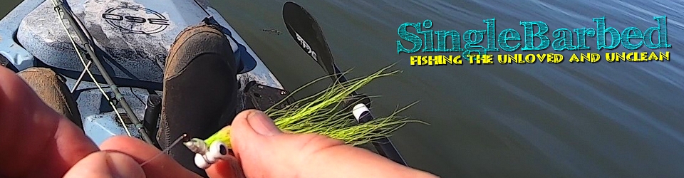
In between waiting on the UPS driver for the odds and ends I’ve ordered to properly exploit the watershed, I’ll focus on what tidbits of knowledge I’ve gleaned …
The water is shallow and the bottom is muddy and flat.
Any cover that holds fish will be organic and likely visible from above, as constant dredging removes anything more substantial.
Flies should be lightly weighted and should vibrate or rattle when pulled through the water …
… and scent is a plus yet not a priority.
My quarry is likely anything wearing feelers, as well as the omnivores like Suckers and Pikeminnow, things that grow big on brown water food groups, decayed goat, Lawnmower and the occasional mayfly.